How Technology Has Changed Land Surveying

Each year, National Surveyors Week falls on the third week of March and aims to recognize the professionals who make contributions to infrastructure projects and community enhancements through the medium of surveying. To celebrate this year, we wanted to highlight how technology has changed the land surveying industry and how we provide data to our clients.
“Surveying land is as much of an art as it is a science,” according to Thrasher Survey Division Manager Joe Lowther. It is a complex process that requires strong attention to detail and an understanding of ever-evolving technology.
A complicated artform
The classic form of surveying involves following another person’s footsteps or thought processes. You are often looking at an existing survey, trying to see things through the lens of the original surveyor. It is challenging to put yourself in another time and understand the intent of the data in front of you – what was the objective when the boundary was created? Reading and interpreting this information truly becomes an artform. Further, surveyors have to choose the right tool to complete the job. Like an artist deciding when to use a roller versus a paint brush, a surveyor is faced with a similar task. Because of the wide variety of equipment available, surveyors must choose the best instrument to use for the data at hand, be it a hand level or a drone.
The benefit of evolving technology
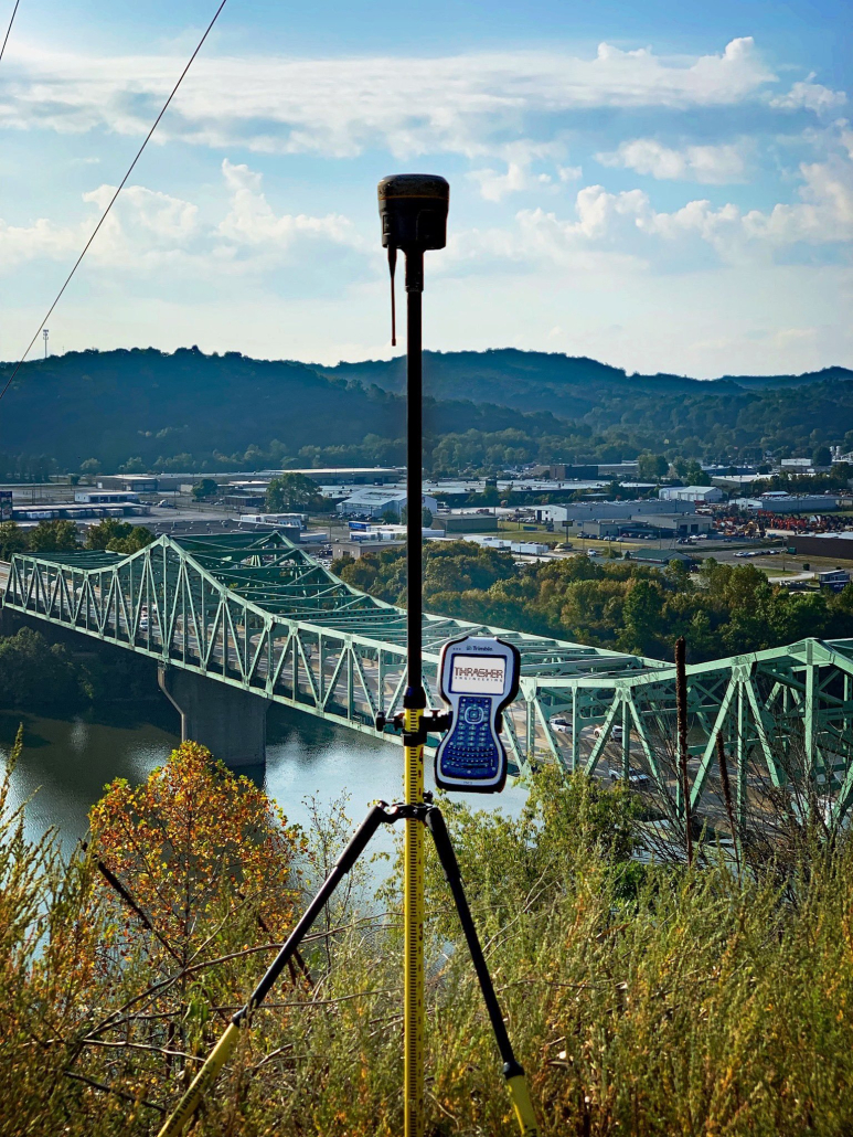
The survey process has simplified over the years, though. For one, what once took a multi-person crew several days of intense packing and multiple tools for measurement can now be performed by a singular person with equipment that can be carried in one hand. Additionally, technology has made it possible to have multiple measurements taken simultaneously. Advancements in laser scanning and LiDAR, for example, have proven to be more efficient than some conventional methods, which produce less information. Equipped with the right tools, a drone can now collect acres worth of data in minutes versus days, while laser scanning can collect vast amounts of data in a single setup, reducing the amount of time for collection. If operated and staged appropriately, these new advancements can increase efficiency and productivity in the field through the gathering of thousands of points per second. A conventional total station, on the other hand, gathers information by individual points and can take several seconds to adjust to the target and acquire a reading from the EDM device and store the point collected.
The advancement of technology has also brought about an increase in workload for the surveying industry. In today’s world, instead of simply estimating materials that are stockpiled or how much fill was placed, improvements in data collection have made the cost more palatable for clients to employ surveyors to provide them accurate volumes. This can be done with a much higher level of accuracy and in a shorter time period than ever before.
Surveying is a constantly evolving industry that impacts each and every one of us. Whether it’s a property survey for our home or LiDAR scanning of a bridge, collecting high quality data is of the utmost importance. Thrasher is proud to have a team dedicated to this artform and we look forward to seeing what comes next for the survey world!