We have the right geospatial team and tools for any project
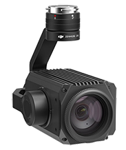
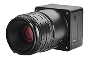
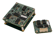
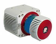
From a small scanning project to aerial mapping of an entire county, you can count on Thrasher’s geospatial specialists to determine the best data collection solution (not the most expensive) for your specific project. We invest in the best technology and training for our teams, so you can have the most accurate data for your project.
Thrasher not only provides variety of photogrammetric services but also maintains an enormous database of historical imagery that is readily available for clients.
GIS Services
We deliver advanced geospatial solutions focused on automation, data integration, and efficient mapping for community partners and enterprise clients. Our team leverages scripting and modern GIS tools to streamline workflows and provide actionable insights. Core Capabilities:
- Geodatabase Design & Management
- GIS Project Management
- GIS Website integration
- GIS Automation & Scripting (Python, ArcPy, R, ModelBuilder)
- Workflow Optimization & Data Integration
- Spatial Analysis & Modeling
- Community GIS Support
- Pre- and Post- Construction Videos
LiDAR Services
Thrasher is in the process of flying seven million acres of LiDAR. This will cover areas in Ohio, Pennsylvania, and West Virginia. Once flying is completed, we will have on demand 2 ft. contours for your project needs. Please contact us if you have a project area you are interested in.
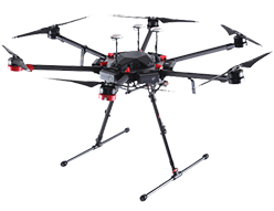
- UAV
- Airborne
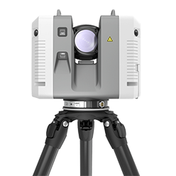
- Terrestrial
Aerial Mapping
Our Aerial Mapping services includes topographic and planimetric mapping, surveying, orthophotos, aerial photography, LiDAR, airborne GPS, aero-triangulation, GIS, stockpile volumes, emergency response, terrain modeling and more. We offer both national or international contiguous coverage, and all data exceeds specifications for engineering grade two-foot contours nationwide.
- Aerial topographic and planimetric mapping
- Orthophotos
- Reprographics
- 3D Flythroughs
- LiDAR
- Aero-triangulation
- Stockpile volumes
- Emergency Response
- Terrain Modeling
- Aerial Pipe Line monitoring
- Aerial Power Line monitoring
- Low Altitude Video


