Utility Interconnection Study
Regions I & IV Planning and Development Councils

West Virginia has faced storms of increasing frequency and intensity in recent years. These incidents create unparalleled devastation, which is only compounded by inevitable infrastructure damage. The Region I and Region IV Planning and Development Councils (RPDCs) aimed to reduce those impacts by finding the most feasible ways to create more resilient utilities through a comprehensive study.
The Challenge: Examine 100+ water and sewer systems across an 11-county region to determine potential interconnection points in a 3-month timeframe.
The RPDCs received a Community Development Block Grant – Disaster Recovery (CDBG-DR) from the United States Department of Housing and Urban Development (HUD). This federal funding was crucial in making the study happen but meant it had to happen fast, as there were just three months to work with between The Thrasher Group being awarded the project and the funding’s expiration date.
In that time, Thrasher’s Water Resources team had to tackle an immense amount of work:
Water Systems
County Region
Month Timeframe
The Outcome: A 375-page report created with detailed system breakdowns and associated mapping for 112 utilities across 82 entities, with 148 potential connection possibilities.
Replicating the tried and true approach the Thrasher team took on the Regional Optical Communications (ROC) WV Statewide Broadband Study, the resulting document was completed on time and provided three valuable assets:
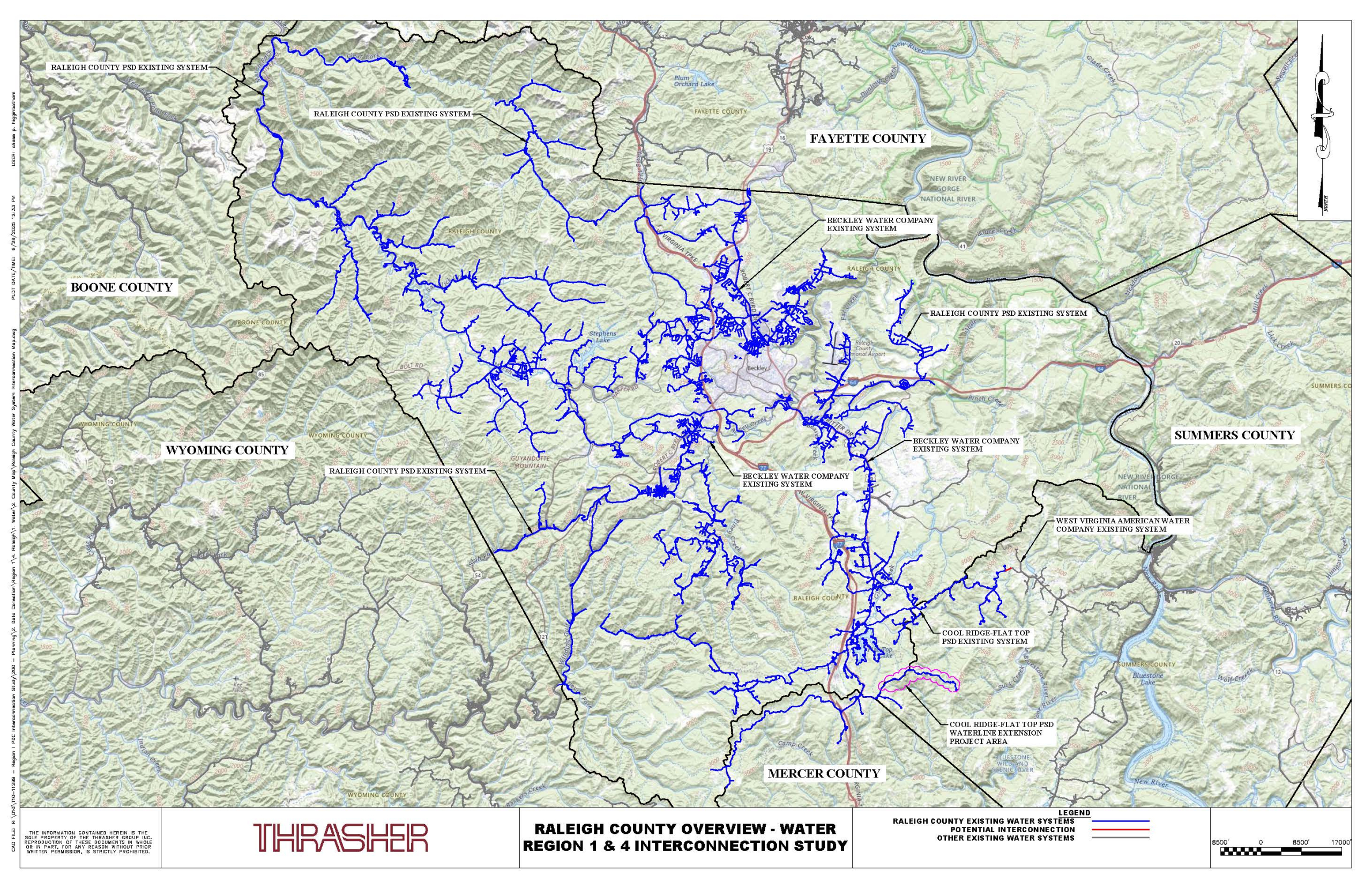
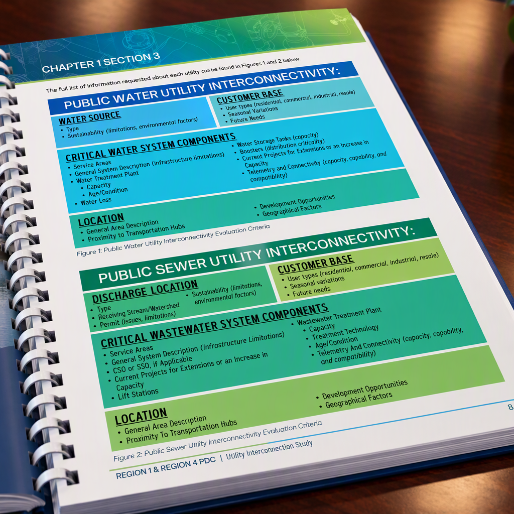
The study is the first step in a longer process. The system mapping, interconnection scenarios, and cost estimates give both RPDCs a foundation for future construction projects across the 11-county region. The data shows where systems have deficiencies, where there is room for growth, and where added redundancy would keep service running after a storm.
Because preliminary layouts and cost estimates are already complete, the RPDCs can submit projects for grant funding as opportunities arise, even on short deadlines.
Phase 2 – Critical Facilities and Housing Capacity
With additional CDBG funding secured, the RPDCs asked Thrasher to extend the study in three directions:

Let’s discuss your project.