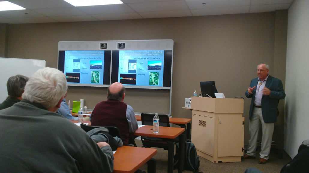
Integrating Geospatial Disciplines and Technologies within a Professional Engineering and Surveying Company
Presentation and article by: Joe Allegra, LS
Recently Thrasher was given the opportunity to provide a technical 1hr session for PDH’s for the Fredericksburg, Virginia chapter of ACEC. The topic I discussed was Integrating Geospatial Disciplines and Technologies within a Professional engineering and surveying company. Beginning with a brief history which included defining the three major geospatial disciplines of GIS, Photogrammetry and Surveying along with each disciplines technological advancements through identifying the key components in completing the geospatial component of a project and concluded with some project examples of integrated geospatial disciplines and technologies.
Through this journey my attempt was to highlight, what I consider to be one the major problems when integrating data within the geospatial disciplines ::: Metadata which is the information required to define the geospatial data including accuracy, precision, technologies, datum, units and others.
The math and history side of me presented this in a logarithmic function with respect to mankind’s ability to measure time. I chose to start with the pyramids at Giza through Alexandria and the first replicated watch in America then ending with cesium clocks…which makes everything we do today work. Through this story I highlighted a couple of obscure giants whose breakthroughs either in measuring or understanding time helped civilization advance. Eratosthenes, Hypatia and Banneker.
At the end of the presentation there was a lot of good discussion.
Notes of Emphasis:
I propose that one of the earliest examples of a successful project requiring the integration of geospatial disciplines was the Pyramids at the Giza Plateau and surrounding areas with respect to time.
Looking at the following abbreviated definitions of Geospatial Discipline one can extrapolate my supposition as a possibility:
- GIS is the term describing any information system that manages data with respect to geographic location.
- Surveying is the science and art of making measurements to determine relative position of points or physical and cultural above or beneath the surface of the earth.
- Photogrammetry is the science of making measurements from photographs for recovering positions of surface points.

